
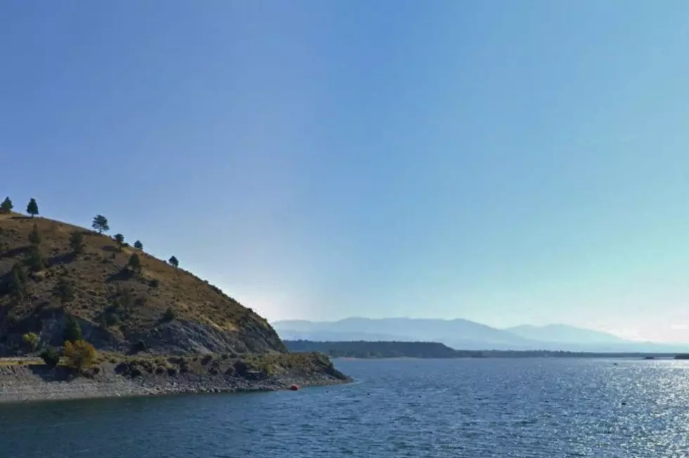
These Montana Towns Were Sunk To Create Reservoirs
A lot of people won't swim in the ocean because they can't see the bottom, or what might be swimming underneath them. I grew up near an entire town that was sunk to create a watershed, and I never once swam in it, because I couldn't stop thinking about what was down there beneath me, an entire town, houses, stores, and all. For some reason, that always creeped me out.
Montana has its own version of that story, and more than one at that. Several small Montana towns were bought out, bulldozed, or simply left behind as the Missouri, Beaverhead, and Kootenai rivers were dammed up over the last century to control flooding, generate electricity, and store water for farms. Here are a few of the Montana communities that now rest somewhere underneath the surface of a lake most of us know only as a great place to fish or launch a boat.
Canton Disappeared Beneath Canyon Ferry Lake
Canton once sat along the Missouri River in Broadwater County, north of Townsend. According to the Bureau of Reclamation's own official project history, written by agency historian Eric Stene, local residents at a 1947 town meeting in Townsend voiced real opposition to the new Canyon Ferry Dam because it would inundate the farmland of what officials called the Canton Valley. Construction ran from 1949 to 1954, and the Bureau of Reclamation confirms the dam was officially completed on June 23, 1954.
According to the Bureau of Reclamation's Canyon Ferry Unit history, Reclamation acquired roughly 39,000 acres of land for the reservoir and government camp, most of it privately owned ranch land, with Montana Power Company as the largest single landowner. According to NBC Montana, Broadwater County Museum curator Linda Huth says that when the lake level drops low enough, old building foundations still become visible beneath the water. Canton's cemetery survived because it sat on a hill high enough to stay dry, and the Bureau of Reclamation's own project history notes the agency helped organize a picnic there in 1958 to identify unmarked graves before placing new markers. It's now known as Cemetery Island and is accessible only by boat.
Armstead Sank Beneath Clark Canyon Reservoir
Armstead was a railroad town in Beaverhead County. According to the Montana History Portal, a digital archive maintained by the Montana Historical Society, the site was also where the Lewis and Clark Expedition first encountered the Shoshone. According to the Bureau of Reclamation's own East Bench Unit project page, the contract for Clark Canyon Dam's construction was awarded in September 1961, and the structure was completed in 1964. The Bureau of Reclamation's Clark Canyon Reservoir site confirms the reservoir also covers Camp Fortunate, where the Lewis and Clark Expedition met the Lemhi Shoshone and cached canoes and supplies for their return trip, and where Sacagawea was reunited with her people.
Rexford Escaped Lake Koocanusa By Moving Uphill
Unlike Canton and Armstead, Rexford in Lincoln County didn't disappear entirely; its residents saw the flood coming and moved the town uphill before the water arrived. According to the U.S. Army Corps of Engineers, Seattle District, Libby Dam's construction, part of the Columbia River Treaty between the United States and Canada, required the relocation of the town of Rexford along with extensive road and rail line adjustments, and it employed more than 2,000 workers at its peak between 1966 and 1972. The Corps notes the dam was completed in 1973 and formally dedicated by President Gerald Ford on August 24, 1975.
According to the Montana History Portal, several longtime residents scouted a new location for the town on higher ground, and the Corps of Engineers helped build infrastructure for the new site, though the move was not without hard feelings. According to the Flathead Beacon, some Rexford buildings were moved up the hill to the new townsite while others, including the church, general store and railroad depot, were relocated to Eureka, where they still stand today at the Tobacco Valley Historical Village. The same Flathead Beacon report notes that nearby valley communities, including Warland, Tweed, Ural, Volcour and Yarnell, were not relocated and disappeared from the map entirely.
Why Montana Keeps Trading Towns For Reservoirs
Every one of these towns was lost for a similar reason: Montana needed to control its rivers. According to the Bureau of Reclamation, Canyon Ferry Dam and Clark Canyon Dam were both built as part of the Pick-Sloan Missouri Basin Program to manage flooding, generate power, and store irrigation water. According to the U.S. Army Corps of Engineers, Libby Dam was built under the Columbia River Treaty to control flooding across the entire Kootenai and Columbia River watersheds shared by the United States and Canada. In each case, the resulting reservoir became one of Montana's most popular spots for boating, fishing, or camping, even as the community it replaced faded into local memory.
What Remains Of These Sunken Montana Towns Today
If you know where to look, these towns haven't completely vanished. According to Montana's Historic Landscapes, a preservation history site run by a former state historic preservation official, St. Joseph's Catholic Church, the oldest landmark from Canton, was moved to higher ground in 1954 by determined residents and still stands near Canyon Ferry Lake today.

The Bureau of Reclamation's own project history confirms Armstead's old highway and railroad grade sit beneath Clark Canyon Reservoir. And according to the Flathead Beacon, the Tobacco Valley Historical Village in Eureka preserves several buildings salvaged from the original Rexford before Lake Koocanusa rose over the valley. Knowing all of that now, I understand my own reservoir hesitation a little better. Some things really do stay down there, waiting for the water to drop just low enough to prove it.
10 Peaceful Places in Montana That Feel Miles Away From Everything
Gallery Credit: Traci Taylor
Breathtaking Photos of the Beartooth Highway
Gallery Credit: Traci Taylor